METAR & TAF H63
H63 does not publish a METAR.
Showing the nearest reporting station: KPHG (PHILLIPSBURG MUNI) · 19.5 NM away. Conditions at H63 may differ.
METAR · KPHG
Observed 14:35Z
KPHG 261435Z AUTO 00000KT 10SM CLR 29/23 A2991 RMK AO2
- Wind
- 000° @ 0 kt
- Visibility
- 10 SM
- Temp / Dew
- 29°C / 23°C
- Altimeter
- 29.91 inHg
- Clouds
- CLR
- Density alt
- 4,105 ft
- Ceiling
- Unlimited
- Rules
- VFR
Airport info & contacts
Manager on record, flight service, ARTCC, attendance schedule and pattern altitude — published by the FAA and refreshed every 28 days.
Location
- From city
- 6 NM SW
- VFR sectional
- OMAHA
- ARTCC
- ZDV · DENVER
- NOTAM facility
- OLU (NOTAM-D)
Airport manager
- Name
- BRYSON HELLMUTH
- Phone
- 308-799-2105
- Address
- 70788 CORPS RDA, REPUBLICAN CITY NE 68971
Flight service · Hours
- FSS OLU
- COLUMBUS1-800-WX-BRIEF
- Attendance
- Unattended
Frequencies
Tap any row to copy the frequency to your clipboard.
Runways & pattern
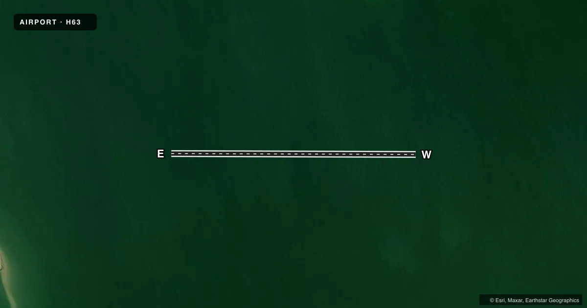
Full pagePattern entry · RWY E
LEFT TRAFFICAirport sketch
Runways drawn to scale from FAA survey coordinates, rendered over satellite imagery. Not for navigation.
Approaches & charts
Services on the field
Fuel grades, oxygen, maintenance, ramp storage and lighting — as declared to the FAA by the airport operator.
Fuel & services
- Fuel
- Not available
- Oxygen (bottled)
- Not available
- Oxygen (bulk)
- Not available
- Airframe repair
- Not available
- Power plant repair
- Not available
Ramp & ground
- Transient storage
- Not published
- Wind indicator
- No
- Segmented circle
- No
Fuel & FBOs
Cheapest 100LL and Jet A on the field and nearby. Always confirm with the FBO before taxi.
Airport notes
Surface conditions, obstructions, local procedures, lighting outages and other notes published with each FAA cycle.
General notes
- 1 MAY-30 SEPT, HOLIDAYS PILOTS WATCH FOR BOATS
- FOR CD CTC DENVER ARTCC AT 303-651-4257.
Other notes
- PILOTS CAN TIE UP AT MARINA, NE SHORE; CALL FOR MARINA CONDS BEFORE TAXIING TO IT, 308-799-2105.
VFR map & nearby airports
VFR sectional. Tap any ICAO chip to open that airport.
Key facts · H63
Answer card- ICAO
- H63
- Name
- HARLAN COUNTY LAKE
- Location
- ALMA, NEBRASKA
- Elevation
- 1,946 ft MSL
- Traffic pattern altitude
- 2,946 ft MSL (1,000 AGL)
- Control tower
- Non-towered (use CTAF)
- Total runways
- 1
- Longest runway
- E/W · 6,000 ft
- Published ILS approaches
- 0
- Published frequencies
- 1
- Magnetic variation
- 8°
- Current flight rules
- VFR
- Current wind
- 000° at 0 kt
- Favored runway now
- –
Harlan County Lake Airport (H63) sits near Alma, Nebraska. Field elevation is 1,946 ft MSL. The airport has one 6,000 ft water runway with magnetic headings 90° and 270°. There is no control tower. CTAF is 122.9. No ILS approaches are published here.
Pattern altitude is not published. Use standard 1,000 ft AGL unless the current FAA Chart Supplement says otherwise. The field is in Class C airspace per the provided facts. Magnetic variation is 8°.
There are no on-field FBOs listed. For clearance delivery, contact Denver ARTCC at 303-651-4257. Pilots can tie up at the marina on the northeast shore. Call ahead for marina conditions before taxiing to it. The published remarks also say to watch for boats from May 1 to September 30. They also say to watch for boats on holidays. That matters here because this is a water runway. Traffic on the lake is part of the picture. First-time pilots should plan for a non-towered lake environment. Keep a close scan for boat traffic. Verify current local conditions before arrival.