METAR & TAF 3FL
3FL does not publish a METAR.
Showing the nearest reporting station: KISM (KISSIMMEE GATEWAY) · 8.1 NM away. Conditions at 3FL may differ.
METAR · KISM
Observed 10:56Z
KISM 271056Z 29006KT 8SM CLR 26/24 A2994 RMK AO2 SLP139 T02560244 $
- Wind
- 290° @ 6 kt
- Visibility
- 8 SM
- Temp / Dew
- 26°C / 24°C
- Altimeter
- 29.94 inHg
- Clouds
- CLR
- Density alt
- 1,362 ft
- Ceiling
- Unlimited
- Rules
- VFR
Airport info & contacts
Manager on record, flight service, ARTCC, attendance schedule and pattern altitude — published by the FAA and refreshed every 28 days.
Location
- From city
- 1 NM N
- VFR sectional
- JACKSONVILLE
- ARTCC
- ZJX · JACKSONVILLE
- NOTAM facility
- PIE
Airport manager
- Name
- KEVIN FELBLINGER
- Phone
- 407-957-7353
- Address
- 1300 NINTH ST, ST CLOUD FL 34769
Flight service · Hours
- FSS PIE
- SAINT PETERSBURG1-800-WX-BRIEF
- Attendance
- Unattended
Frequencies
Tap any row to copy the frequency to your clipboard.
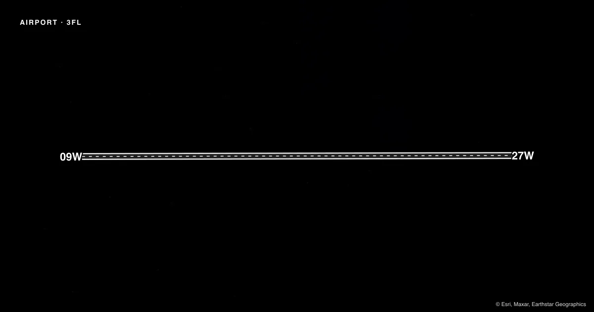
Runways & pattern
Full pagePattern entry · RWY 27W
LEFT TRAFFICAirport sketch
Runways drawn to scale from FAA survey coordinates, rendered over satellite imagery. Not for navigation.
Approaches & charts
Services on the field
Fuel grades, oxygen, maintenance, ramp storage and lighting — as declared to the FAA by the airport operator.
Fuel & services
- Fuel
- Not available
Ramp & ground
- Transient storage
- Not published
- Landing fee
- No fee published
Fuel & FBOs
Cheapest 100LL and Jet A on the field and nearby. Always confirm with the FBO before taxi.
Airport notes
Surface conditions, obstructions, local procedures, lighting outages and other notes published with each FAA cycle.
General notes
- CALL ARPT MGR FOR PRKG RQNS.
VFR map & nearby airports
VFR sectional. Tap any ICAO chip to open that airport.
Key facts · 3FL
Answer card- ICAO
- 3FL
- Name
- ST CLOUD
- Location
- ST CLOUD, FLORIDA
- Elevation
- 54 ft MSL
- Traffic pattern altitude
- 1,054 ft MSL (1,000 AGL)
- Control tower
- Non-towered (use CTAF)
- Total runways
- 1
- Longest runway
- 09W/27W · 3,000 ft
- Published ILS approaches
- 0
- Published frequencies
- 1
- Magnetic variation
- –
- Current flight rules
- VFR
- Current wind
- 290° at 6 kt
- Favored runway now
- RWY 27W
ST CLOUD Airport (3FL) sits in St Cloud, Florida. The field elevation is 54 ft MSL. It has one runway. The longest runway is 09W/27W at 3,000 ft on water. There is no control tower. CTAF is 122.9.
No ILS approaches are published here. Pattern altitude is not published, so use the standard 1,000 ft AGL for light piston operations unless the current FAA Chart Supplement says otherwise. That puts the pattern at 1,054 ft MSL based on the listed field elevation. The airport is a water runway field, so plan for a different arrival picture than a paved strip. Verify your setup and spacing before you commit.
There are no on-field FBOs listed in the facts provided. Call the airport operator or the airport manager before arrival if you need parking or local handling details. The published remark says to call the airport manager for parking requests. If you are unfamiliar with the field, get current local guidance before you go. Use the current FAA Chart Supplement for any updated procedures or restrictions.